A web solution designed to help users evaluate the feasibility of a geothermal site based on location input.
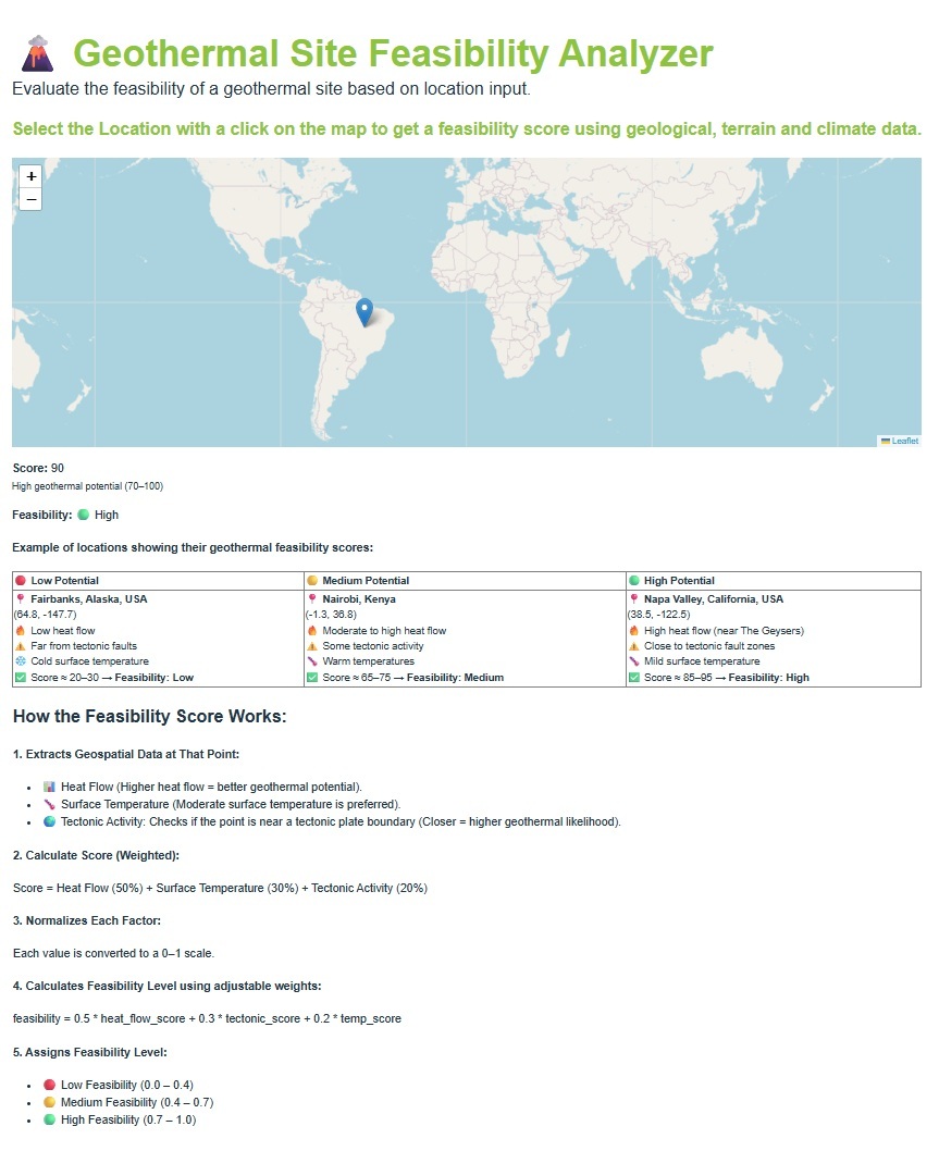
Users can input coordinates (lat/lon) of a location or click on a map, and the app returns a feasibility score using geological, terrain, and climate data.
🔗 Try Demo (External Link - may take a few seconds to load)
A tool for engineers and designers to:
✅ Select a location on a map.
✅ Extract Geospatial Data at that selected point.
✅ Caculate Score (Weighted).
✅ Caculate Feasibility Level using adjustable weights.